ES Designs' webGIS package started life as a simple GIS solution for presenting map data and querying site databases. It has since evolved into a more complete package that incorporates ES Designs' web-based field data collection tools with data presentation tools. webGIS tools are served over the Internet or through intranets to Netscape Navigator 2.0 compatible web browsers (webGIS solutions utilize frames and tables). WebGIS provides a means for moving data quicky from your field site to office, allowing you to see and evaluate the spacial distribution and historical trends of your data.
The following examples detail our webGIS package. webGIS data collection tools are designed to move data from the field to the office quickly in a digital format. ES Designs currently has tools for collecting:
Once data are collected and stored in site database the can be queried and viewed through the webGIS data presentation tools. The following example steps through the process of querying a simple webGIS solution.
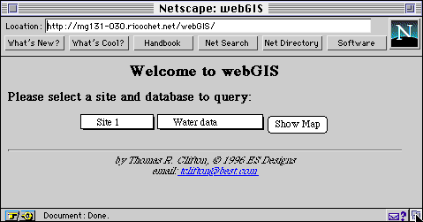
WebGIS begins with a query form, allowing you to enter the site and database to query. Once these values are selected, webGIS calls up a site map and queries the site database for a listing of data available for further queries. The site map and data query forms are placed into separate frames, so you can view both the map and query.
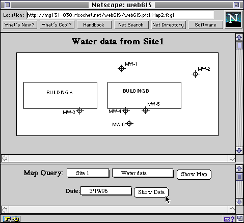
You then select a specific data set to display on the map from the query form. In this case, we will display all of the water elevation data for 3/19/96. Clicking the show data button, updates the map to show the data.
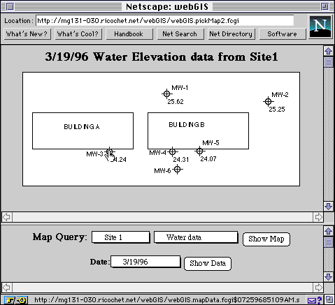
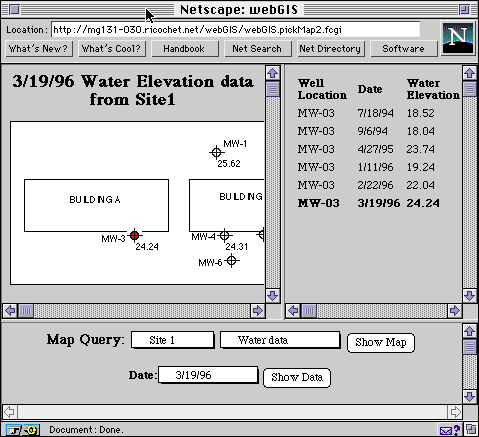
At the same time that the map is updated, an image map is generated. You can further investigate data from individual well locations by clicking on a well location. In this example, clicking on the well MW-03 queries the site database for all groundwater elevation data at MW-03. These data are displayed in a table format within a new frame.
Further queries can be generated from the map, or new queries can be produced from the query form.